
Today’s Wonder of the Day was inspired by Adrian. Adrian Wonders, “WHY IS EUROPE A CONTINENT IF ITS CONNECTED TO ASIA?” Thanks for WONDERing with us, Adrian!
We modern humans have it easy when it comes to getting where we need to go. From the moment we begin to learn about geography, we have globes, atlases, satellite imagery, and Global Positioning System (GPS) satellites to let us know exactly where we are and how to get to where we want to be.
Envision what life must have been like for early explorers. You grow up in a particular part of the world and then one day board a ship and begin to see sights you never imagined possible. Seeing an ocean for the first time must have been spectacular.
Early explorations across the world's oceans began to bring the nature of the world into clearer focus. Map makers began to understand that most of Earth was covered by oceans and what land existed was concentrated in several large, continuous land masses.
Eventually, those large land masses came to be called continents, a term that comes from the Latin words meaning "land held together" or "connected land." A continent is usually defined as a very large, continuous land mass often separated from other continents by large bodies of water.
There are no strict geological or geographical criteria that define what a continent is. Instead, the continents have been defined in various ways over time based upon various conventions, including geographical, cultural, historical, political, anthropological, and even philosophical criteria.
The lack of strict criteria to define a continent has led to a variety of ways in which the continents can be divided and numbered. The most widely-used grouping of continents contains seven continents: Africa, Antarctica, Australia, Asia, Europe, North America, and South America.
If you've always thought there were seven continents, then you may be a bit confused as to how there could be fewer than seven. Let's take a look at a few of the issues that give rise to other ways of numbering the continents.
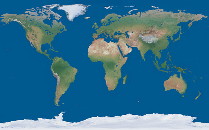
For example, if you've ever looked at Europe and Asia on a map, you've probably noticed that there's no huge ocean between them. Europe and Asia look like one big continuous land mass, and it is! All that land even sits on the same tectonic plate. So why are they considered two separate continents?
There's no clear-cut answer, but historians trace the division of Europe and Asia back to early cultural biases held by Europeans against Mongol peoples who lived east of the Ural Mountains. Academics wanting to distinguish themselves from others created an imaginary continental barrier between Europe and Asia, a division that's now largely ignored.
If you count Europe and Asia as one continent (often known as Eurasia), then there are six continents. Some people also count North America and South America as one continent (called simply America), since the two land masses are separated only by the human-made Panama Canal. This would allow for a model with only five continents.
Some people take things one step further to create a model with only four continents. In this model, Europe, Asia, and Africa are combined into one continent called either Afro-Eurasia or Eurafrasia, since only the man-made Suez Canal separates Africa from Eurasia.