
Today’s Wonder of the Day was inspired by Matthew. Matthew Wonders, “How are drones being used to study natural habitats of animals?” Thanks for WONDERing with us, Matthew!
Have you ever WONDERed how scientists measure the ice caps? What about the number of animals left in an endangered species? How can they tell when a volcano will erupt?
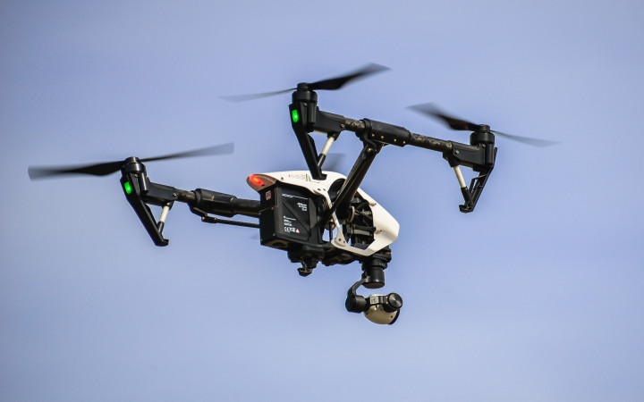
There are many ways to learn about the world. Sometimes, experts use their own senses to study nature. Other times, devices collect and send data to them. In recent years, drones have helped scientists get the information they need.
What can we learn from drones? Many things! Drones can fly long distances. Many of them are small enough to fit in tight spaces. They let scientists see faraway places from their labs.
Scientists use drones to study areas that are difficult to reach. They might fly a drone to Antarctica. There, it can track the size of the ice shelf. In the Arctic Ocean, it can look for cracks in glaciers. This helps scientists learn when new icebergs may break off.
Drones can also go underwater and to places that are unsafe for people. They can enter acidic lakes. They can even reach the deepest parts of the ocean. They can study shipwrecks, underwater avalanches, and rare sea animals.
Drones also help us learn more about pollution. Scientists use special drones to find pollution in the air. Then, they track its movement. With this data, scientists can map where the pollution started and where it goes.
Drones also give scientists a way to watch wild animals safely. Ocean Alliance uses drones to study the health of whales. Scientists also use drones to measure animal populations. This helps them know when a species becomes endangered.
How would you like to look into the mouth of a volcano? Does that sound dangerous? Drones have made it much safer. They fly over volcanoes, taking pictures from the sky. Scientists then use those pictures to track volcanic activity and predict eruptions.
Drones also help people learn about the weather. Experts use drones to measure pressure and temperature during storms. They can also help predict problems like flooding. With the help of drones, experts can make better weather forecasts.
What would you study with the help of a drone? Would you track wild animals? Fly over the Amazon rainforest? Maybe you would use them to create maps of new areas or study changes in land formations. With drones in just about every size and shape, anything is possible.
Standards: CCRA.L.3, CCRA.L.6, CCRA.R.4, CCRA.R.1, CCRA.R.2, CCRA.W.2, CCRA.W.7, CCRA.L.1, CCRA.L.2, CCRA.R.10, CCRA.W.4, CCRA.SL.1, CCRA.SL.2

